My Account
Token
Log out
Login
English
English
简体中文
home
>
maps
>
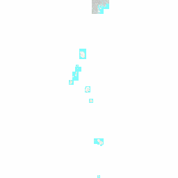
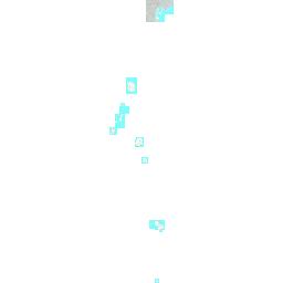
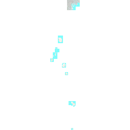
map(索引図@東京港地質DB)
entireImage
Description:
The full extent of an image.
Image parameters:
Center: {"x": -25781.79 ,"y": -211478.32 }
Scale: 0.0000001839387373
View bounds:
Left bottom: {"x": -209901.06 , "y":-395597.6 }
Right top: {"x": 158337.48 , "y":-27359.05}
Size:
Width: 256
Height: 256
Size
Width
Height
Transparent
Yes
No
Target projection
EPSG:4326
EPSG:3857
Original
HTTP methods
GET
HEAD
Output formats
xml
json
fastjson
rjson
html
jsonp
bmp
gif
jpg
png
